GEOLOGY
GEOLOGICAL SERVICES
QF LIBERIA MINING AND SURVEY provides tailor-made consulting services across the full geological spectrum: We employ high caliber Senior Geological Consultants and use our on-going international affiliations to help support our team providing unique geological solutions anywhere in the world. Client requests are handled fast and with the up-most of confidentiality.

REMOTE SENSING
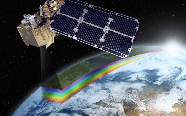
Remote sensing is the process of detecting and monitoring the physical characteristics of an area by measuring its reflected and emitted radiation at a distance from satellite. Special cameras collect remotely sensed images, which help researchers "sense" things about the Earth. Cameras on satellites take images of large areas on the Earth's surface, allowing us to see much more than we can standing on the ground.
GROUND GEOPHYSICS


DRILLING MANAGEMENT
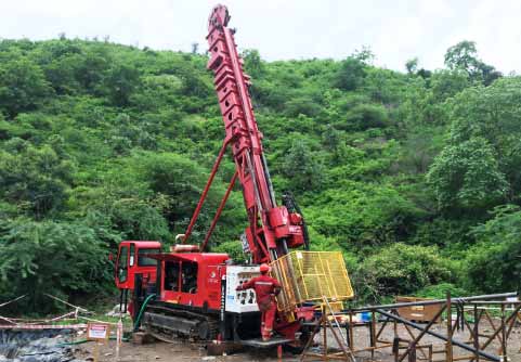
At QF LIBERIA MINING AND SURVEY running drilling campaign of any kind is what we do best. We have managed everything from remote scout drilling projects through to multi-rig resource delineation programmers, in the deep jungles on steep slopes, helicopter-supported, deserts, and of any type. We have managed drilling for small explorers as well as for the big miners. We provide a team that includes senior geologists, and geo-technicians to take care of all aspects of the drilling campaign. We manage the contractors such as the drillers and the laboratories, and make sure that core and/or chips get logged, sampled, and modelled to perfection and international best practice. Often, smaller companies may not have the technical staff in-house to carry out its intended drilling campaign. Our team have relevant experience with most commodities and mineralization we can design any drilling campaign to suit your requirements. In another hand larger companies may sometimes not have the relevant staff on the books to carry out a drilling project, if it is unexpected or if part of a new initiative that wasn’t planned at the start of the budget year. We can take all the hassle of management, overheads, OHS, IT, visas, equipment, sub-contractors away and implement a full exploration project with directives clearly set by the client. We provide daily one-page reports with up-to-date sampling or drilling and safety information, and weekly technical reports with sections and maps showing the progress and most important findings to date.
GEOCHEMICAL SURVEY WITH XRF
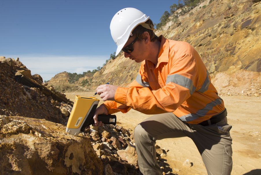
Portable XRF (pXRF) sampling has gained in popularity in the last decade and is becoming standard equipment in mineral exploration and environmental geochemistry industries. we can optimize your survey to get the best out of it and ensure it is fit for purpose. Previous and current projects utilizing the XRF include: • Multi-element geochemistry from soil samples on various gold projects • Multi-element geochemistry from soil samples on various mineral sand projects; • Soil testing of contaminated land; • Geochemical logging of geothermal boreholes; • Rare earth exploration; • Regional geochemical soil surveys; • Multi-element geochemistry from gold grade control RC drilling chips; • Tin-tungsten exploration.

Why GEOLOGICAL SURVEY
A geological survey is the systematic investigation of the geology beneath a given piece of ground for the purpose of creating a geological map or model. … Subsurface maps typically depict the three-dimensional form of geological surfaces by means of contours and cross sections.
